| Fontaine eau potable - Portiragnes Plage |
Kraan |
Portiragnes |
4 km |
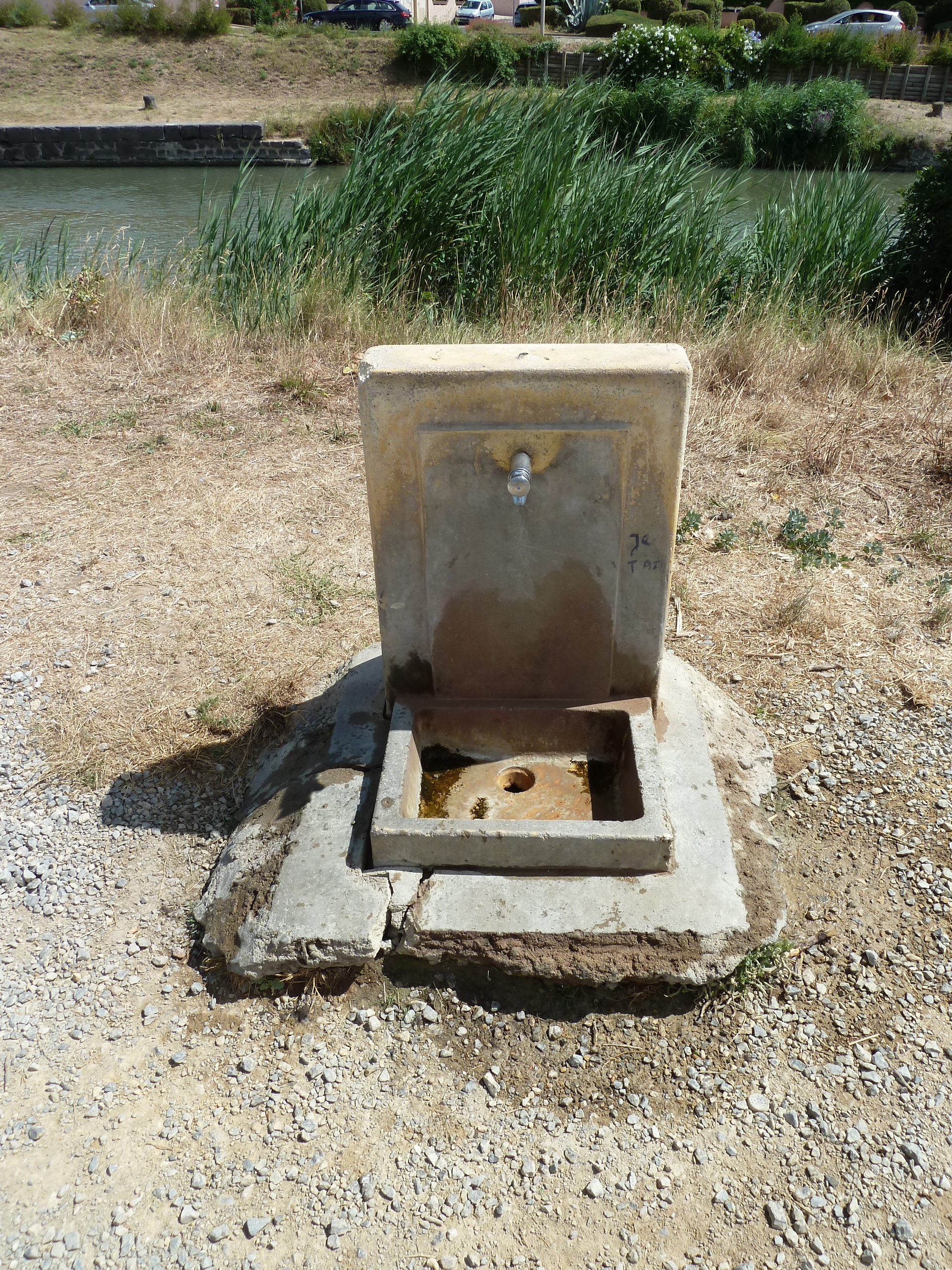
| Piste cyclable Canal du Midi |
Kraan |
Villeneuve-lès-Béziers |
4 km |
| Fontaine eau potable Sérignan |
Kraan |
Sérignan |
5 km |
| Fontaine publique eau potable Valras Plage |
Kraan |
Valras-Plage |
7 km |
| Fontaine eau potable - piste cyclable qui longe le Canal du Midi |
Kraan |
Béziers |
9 km |
| Fontaine eau potable n°2 - Parc Plateau des Poètes |
Kraan |
Béziers |
10 km |
| Fontaine eau potable n°1 - Parc Plateau des Poètes |
Kraan |
Béziers |
10 km |
| Fontaine eau potable Allées Paul Riquet |
Kraan |
Béziers |
10 km |
| Fontaine eau potable Jardin de la Plantade |
Kraan |
Béziers |
11 km |
| Fontaine eau potable Parc sportif de Tabarka |
Kraan |
Lignan-sur-Orb |
15 km |
| Fontaine publique eau potable / Pézenas |
Kraan |
Pézenas |
19 km |
| Fontaine eau potable - Pézenas |
Kraan |
Pézenas |
19 km |
| Fontaine eau potable - Pézenas |
Kraan |
Pézenas |
19 km |
| Fontaine eau potable - Pézenas |
Kraan |
Pézenas |
19 km |
yoh34500