Fontaine publique eau potable Valras Plage
- Beschrijving
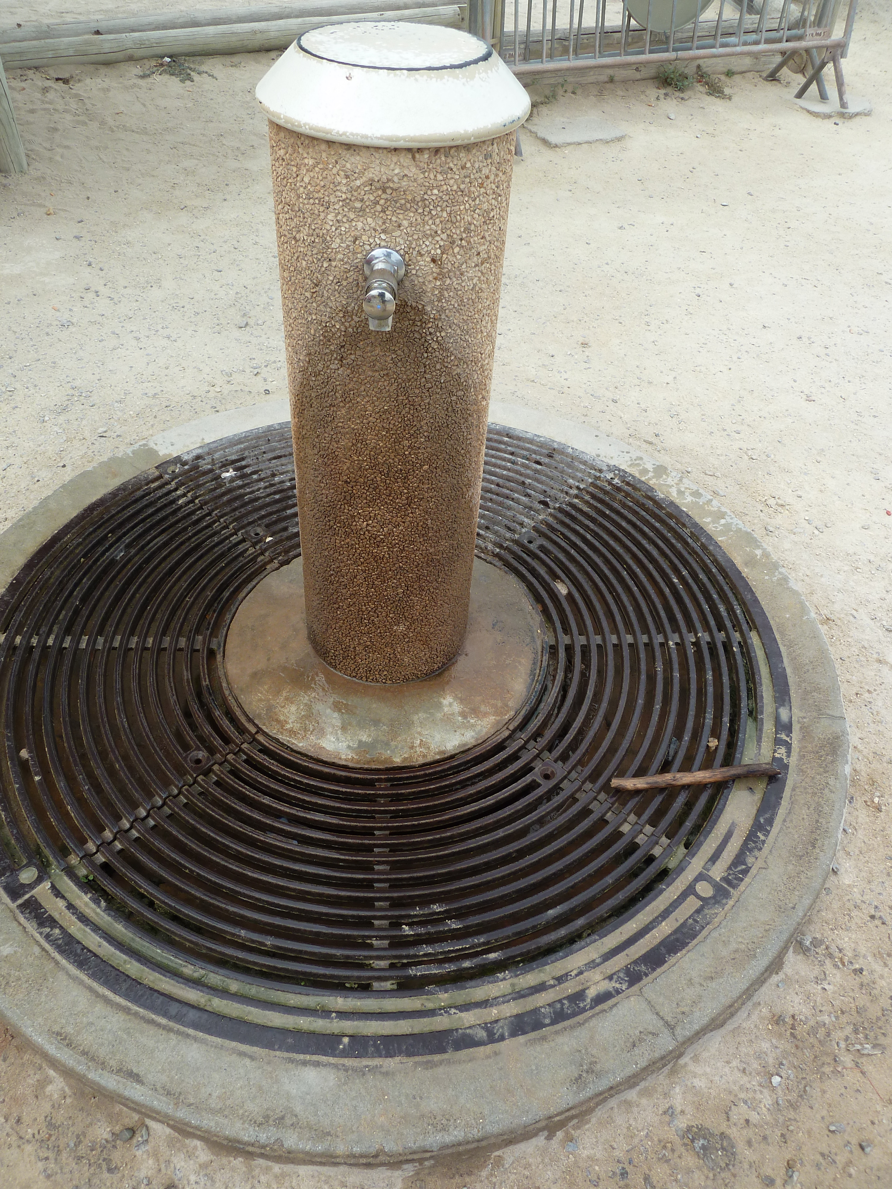
- Fontaine située à l'angle de la place Alfred Panis, le long de la rue du Lieutenant Panis.
- Bron- of kraanwater
- Kraanwater
- Honden kom
- Onbekend
- Flessen bijvulstation
- Onbekend
- Goedgekeurd door overheidsinstanties
- Ja
- Land
- Frankrijk
- Stad
- Valras-Plage
- Adres
- Rue du Lieutenant Panis, 34350 Valras-Plage, France
- steden in de buurt
-
- Cers (34420)
- Colombiers (34440)
- Montblanc (34290)
- Thézan-lès-Béziers (34490)
- Saint-Thibéry (34630)
- Portiragnes (34420)
- Portiragnes (34450)
- Fleury (11560)
- Murviel-lès-Béziers (34490)
- Montady (34310)
- GPS coördinaten
-
- Breedtegraad
- 43.247481937243
- Lengtegraad
- 3.2954890662704
- Graden minuten
- N 43° 14.849', E 3° 17.729'
- Ingezonden door
-
yoh34500
- Aanmaakdatum
- 2016-07-20 18:13:56
- Datum voor het laatst bijgewerkt
- 2016-07-20 20:58:08
Kaart
Foto's
In de buurt
| Naam | Type | Stad | Afstand |
|---|---|---|---|
| Fontaine eau potable Sérignan | Kraan | Sérignan | 4 km |
| Fontaine eau potable - Portiragnes Plage | Kraan | Portiragnes | 6 km |
| Piste cyclable Canal du Midi | Kraan | Portiragnes | 7 km |
| Piste cyclable Canal du Midi | Kraan | Villeneuve-lès-Béziers | 8 km |
| Fontaine eau potable - piste cyclable qui longe le Canal du Midi | Kraan | Béziers | 11 km |
| Fontaine eau potable n°2 - Parc Plateau des Poètes | Kraan | Béziers | 12 km |
| Fontaine eau potable n°1 - Parc Plateau des Poètes | Kraan | Béziers | 12 km |
| Fontaine eau potable Allées Paul Riquet | Kraan | Béziers | 12 km |
| Fontaine eau potable Jardin de la Plantade | Kraan | Béziers | 13 km |
| Fontaine eau potable Parc sportif de Tabarka | Kraan | Lignan-sur-Orb | 17 km |
| Fontaine publique eau potable / Pézenas | Kraan | Pézenas | 26 km |
| Fontaine eau potable - Pézenas | Kraan | Pézenas | 26 km |
| Fontaine eau potable - Pézenas | Kraan | Pézenas | 26 km |
| Fontaine eau potable - Pézenas | Kraan | Pézenas | 26 km |