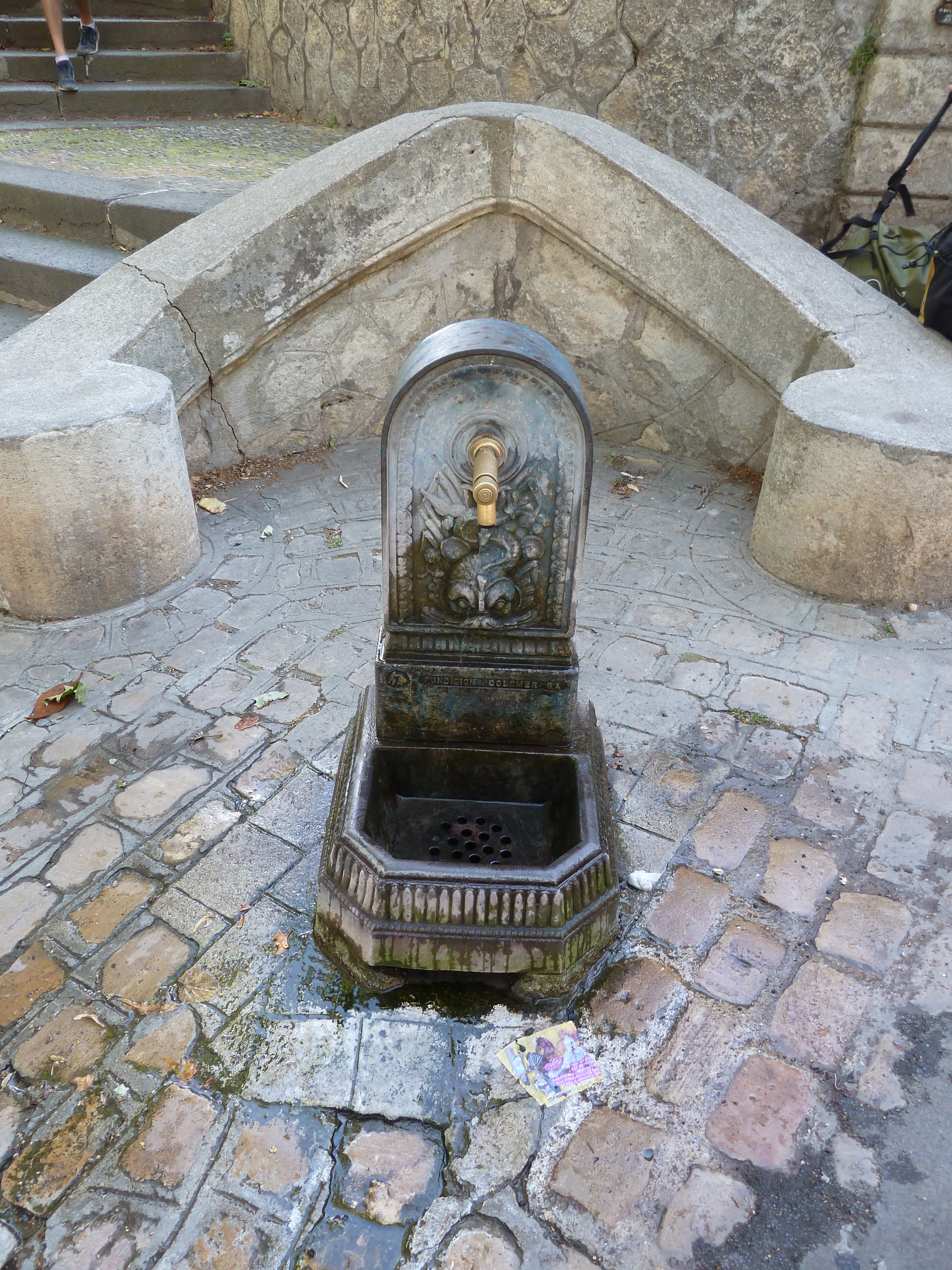
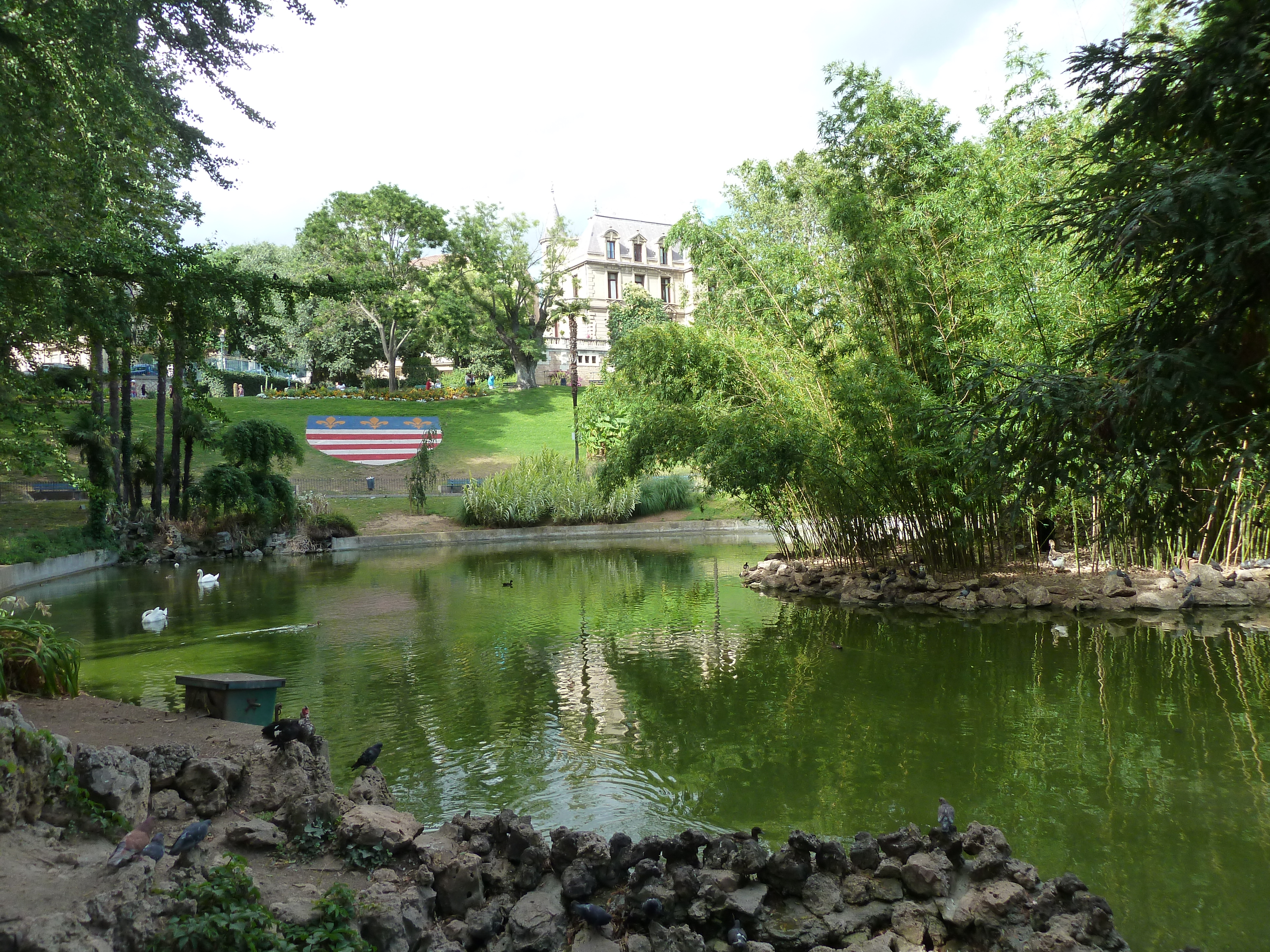
Fontaine eau potable n°1 - Parc Plateau des Poètes
- Beschrijving
-
Fontaine située à l'entrée du parc - ville haute (accès sur les Allées Paul Riquet / le bas du parc donne accès à la gare sncf).
A côté de WC public pour les urgences ! - Bron- of kraanwater
- Kraanwater
- Honden kom
- Onbekend
- Flessen bijvulstation
- Onbekend
- Goedgekeurd door overheidsinstanties
- Ja
- Land
- Frankrijk
- Stad
- Béziers
- Adres
- parc plateau des poètes béziers 34500
- steden in de buurt
-
- Cers (34420)
- Magalas (34480)
- Vinassan (11110)
- Caux (34720)
- Colombiers (34440)
- Montblanc (34290)
- Thézan-lès-Béziers (34490)
- Saint-Thibéry (34630)
- Portiragnes (34420)
- Portiragnes (34450)
- GPS coördinaten
-
- Breedtegraad
- 43.339195651725
- Lengtegraad
- 3.2190564274792
- Graden minuten
- N 43° 20.352', E 3° 13.143'
- OpenStreetMap-knooppunt
-
- Check date
- 2023-06-15
- Man made
- water_tap
- Ingezonden door
-
yoh34500
- Aanmaakdatum
- 2016-07-14 21:56:02
- Datum voor het laatst bijgewerkt
- 2023-11-08 18:43:52
Kaart
Foto's

In de buurt
| Naam | Type | Stad | Afstand |
|---|---|---|---|
| Fontaine eau potable n°2 - Parc Plateau des Poètes | Kraan | Béziers | 0 km |
| Fontaine eau potable Allées Paul Riquet | Kraan | Béziers | 0 km |
| Fontaine eau potable - piste cyclable qui longe le Canal du Midi | Kraan | Béziers | 1 km |
| Fontaine eau potable Jardin de la Plantade | Kraan | Béziers | 1 km |
| Fontaine eau potable Parc sportif de Tabarka | Kraan | Lignan-sur-Orb | 5 km |
| Piste cyclable Canal du Midi | Kraan | Villeneuve-lès-Béziers | 6 km |
| Fontaine eau potable Sérignan | Kraan | Sérignan | 8 km |
| Piste cyclable Canal du Midi | Kraan | Portiragnes | 10 km |
| Fontaine publique eau potable Valras Plage | Kraan | Valras-Plage | 12 km |
| Fontaine eau potable - Portiragnes Plage | Kraan | Portiragnes | 13 km |
| Fontaine publique eau potable / Pézenas | Kraan | Pézenas | 21 km |
| Fontaine eau potable - Pézenas | Kraan | Pézenas | 21 km |
| Fontaine eau potable - Pézenas | Kraan | Pézenas | 21 km |
| Fontaine eau potable - Pézenas | Kraan | Pézenas | 21 km |
| Source | Lente | Les Aires | 29 km |