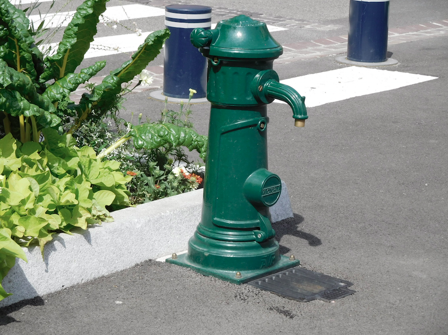
Fontaine de l'église
- Bron- of kraanwater
- Kraanwater
- Honden kom
- Nee
- Flessen bijvulstation
- Nee
- Goedgekeurd door overheidsinstanties
- Ja
- Land
- Frankrijk
- Stad
- Guebwiller
- Adres
- Guebwiller, France
- steden in de buurt
-
- Labaroche (68910)
- Soultzmatt (68570)
- Bitschwiller-lès-Thann (68620)
- Baldersheim (68390)
- Pulversheim (68840)
- Sainte-Croix-en-Plaine (68127)
- Saint-Amarin (68550)
- Morschwiller-le-Bas (68790)
- Ruelisheim (68270)
- Vieux-Thann (68800)
- GPS coördinaten
-
- Breedtegraad
- 47.911489816442
- Lengtegraad
- 7.2088330858097
- Graden minuten
- N 47° 54.689', E 7° 12.530'
- OpenStreetMap-knooppunt
-
- Ingezonden door
-
- Aanmaakdatum
- 2017-07-31 17:56:04
- Datum voor het laatst bijgewerkt
- 2023-11-08 18:55:05

Kaart
Foto's
In de buurt
| Naam | Type | Stad | Afstand |
|---|---|---|---|
| Borne Eau | Kraan | Guebwiller | 0 km |
| Fontaine rue du Bois | Lente | Bergholtz−Zell | 3 km |
| Fontaine rue de la Paix | Lente | Lautenbach | 5 km |
| Fontaine rue Principale | Lente | Lautenbach | 5 km |
| Fontaine de l'église | Lente | Lautenbach | 5 km |
| Fontaine de la Mairie | Lente | Lautenbach-Zell | 5 km |
| Fontaine Grand rue 1 | Lente | Lautenbach-Zell | 6 km |
| Fontaine Grand rue 2 | Lente | Lautenbach-Zell | 6 km |
| Fontaine rue du Wasen | Lente | Lautenbach-Zell | 6 km |
| Fontaine rue des Boulangers | Lente | Soultzmatt | 6 km |
| Fontaine de la Route Forestière du Boenlesgrab | Lente | Lautenbach | 7 km |
| Fontaine du cimetière | Kraan | Linthal | 7 km |
| Fontaine du Monument aux Morts | Lente | Linthal | 7 km |
| Fontaine de la Mairie | Lente | Linthal | 7 km |
| Fontaine rue des Prés | Lente | Linthal | 8 km |
| Source de Wattwiller | Lente | Wattwiller | 9 km |
| Source de Wattwiller | Lente | Wattwiller | 9 km |