Fontaine eau potable - Portiragnes Plage
- Description
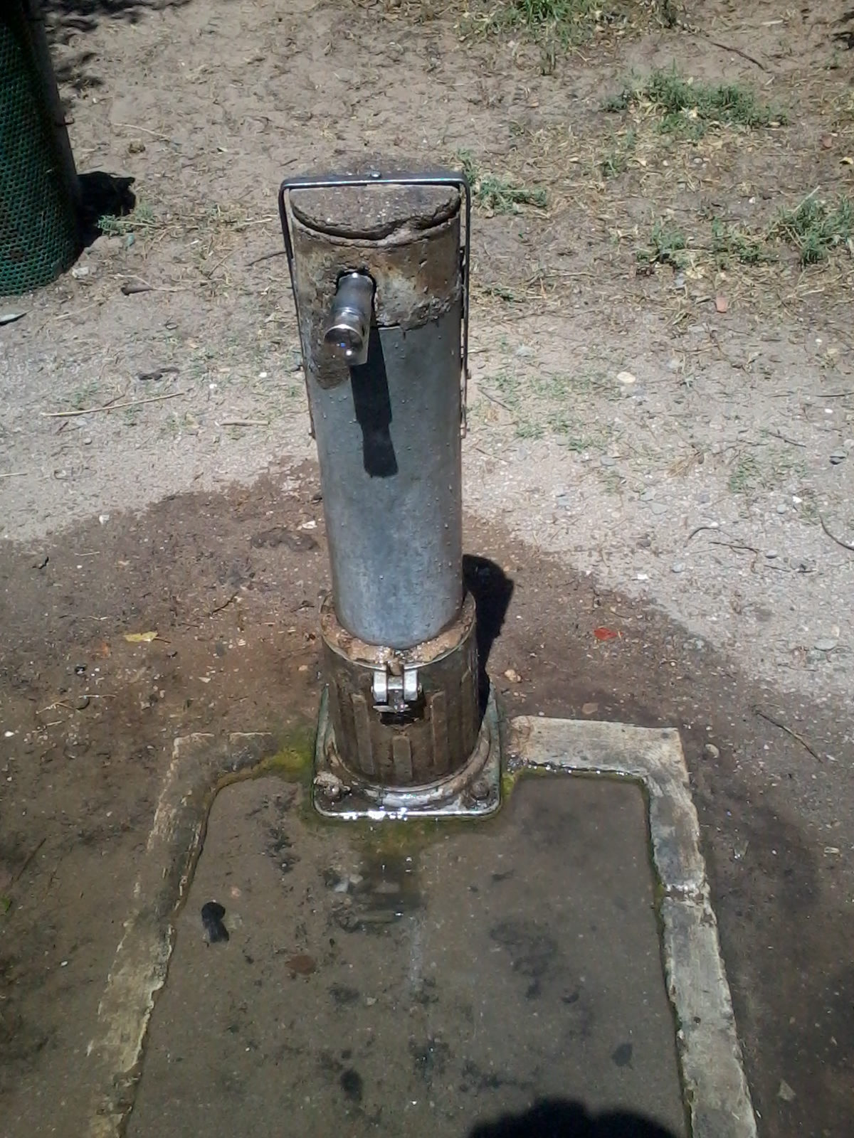
- Fontaine située sur un site équipé pour les pique-niques.
- Spring or tap water
- Tap water
- Dog bowl
- Unknown
- Bottle refill station
- Unknown
- Approved by public authorities
- Yes
- Country
- France
- City
- Portiragnes
- Address
- Portiragnes Plage, Portiragnes, France
- Nearby cities
-
- Cers (34420)
- Magalas (34480)
- Montblanc (34290)
- Thézan-lès-Béziers (34490)
- Saint-Thibéry (34630)
- Portiragnes (34420)
- Portiragnes (34450)
- Lespignan (34710)
- Boujan-sur-Libron (34760)
- Maraussan (34370)
- GPS coordinates
-
- Latitude
- 43.275033777526
- Longitude
- 3.3567416454469
- Degrees minutes
- N 43° 16.502', E 3° 21.404'
- Submitted by
-
- Created date
- 2016-07-26 18:49:43
- Last updated date
- 2016-07-26 18:49:43

Map
Photos
Nearby
| Name | Type | City | Distance |
|---|---|---|---|
| Piste cyclable Canal du Midi | Tap | Portiragnes | 4 kms |
| Fontaine publique eau potable Valras Plage | Tap | Valras-Plage | 6 kms |
| Fontaine eau potable Sérignan | Tap | Sérignan | 6 kms |
| Piste cyclable Canal du Midi | Tap | Villeneuve-lès-Béziers | 8 kms |
| Fontaine eau potable - piste cyclable qui longe le Canal du Midi | Tap | Béziers | 12 kms |
| Fontaine eau potable n°2 - Parc Plateau des Poètes | Tap | Béziers | 13 kms |
| Fontaine eau potable n°1 - Parc Plateau des Poètes | Tap | Béziers | 13 kms |
| Fontaine eau potable Allées Paul Riquet | Tap | Béziers | 14 kms |
| Fontaine eau potable Jardin de la Plantade | Tap | Béziers | 14 kms |
| Fontaine eau potable Parc sportif de Tabarka | Tap | Lignan-sur-Orb | 18 kms |
| Fontaine eau potable - Pézenas | Tap | Pézenas | 21 kms |
| Fontaine eau potable - Pézenas | Tap | Pézenas | 21 kms |
| Fontaine publique eau potable / Pézenas | Tap | Pézenas | 21 kms |
| Fontaine eau potable - Pézenas | Tap | Pézenas | 21 kms |