Robinet du cimetiere de Fougueyrolles
- Description
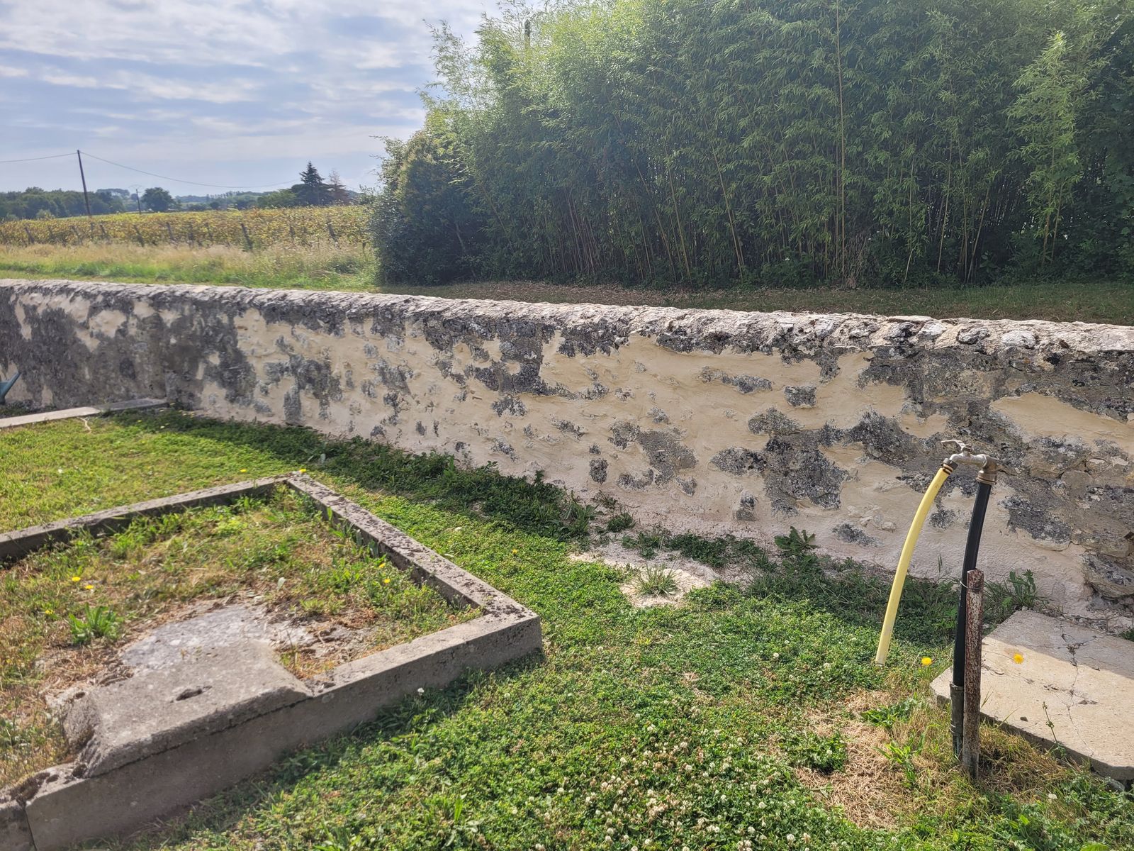
- A gauche en passant par le petit portillon
- Spring or tap water
- Unknown
- Dog bowl
- Unknown
- Bottle refill station
- Yes
- Approved by public authorities
- Unknown
- Last approved date
- 16/07/2023
- Country
- France
- Postcode
- 24189
- City
- Fougueyrolles
- Address
- Route des Ecoles Communales 205
- Nearby cities
-
- La Force (24130)
- Port-Sainte-Foy-et-Ponchapt (33220)
- Saint-Seurin-sur-l'Isle (33660)
- Mussidan (24400)
- Sainte-Foy-la-Grande (33220)
- Montpon-Ménestérol (24700)
- GPS coordinates
-
- Latitude
- 44.865494419417
- Longitude
- 0.18716140146638
- Degrees minutes
- N 44° 51.930', E 0° 11.230'
- Submitted by
-
AchilleTendon
- Created date
- 2023-07-16 18:13:59
- Last updated date
- 2023-07-20 09:53:12
Map
Photos
Nearby
| Name | Type | City | Distance |
|---|---|---|---|
| Cimetière Sainte Foix La Grande | Tap | Pineuilh | 3 kms |
| Robinet mairie Villefranche-de-Lonchat | Tap | Villefranche-de-Lonchat | 14 kms |
| Robinet Pellegrue place de la mairie | Tap | Pellegrue | 16 kms |
| Cimetiere Le Pizou | Tap | Le Pizou | 20 kms |
| Robinet cimeterre Mérignas | Tap | Mérignas | 23 kms |
| Robinet Abbaye de Blasimon | Tap | Blasimon | 24 kms |
| Robinet Stade Georgette Lacour | Tap | Saint-Louis-en-l'Isle | 27 kms |